|
Width: 400 Height: 400 Extent:
YMin: 1637657.5584853722 XMax: 3144093.541196643 YMax: 1714395.7337625606 Spatial Reference: 2877 (2877) LatestVCSWkid(0) Scale: 221005.94479830263 |
| ArcGIS REST Services Directory | Login |
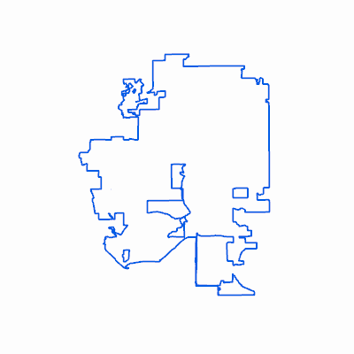
| Home > services > CW > Lakewood_Boundary (MapServer) > export | Help | API Reference |
|
|
Width: 400 Height: 400 Extent:
YMin: 1637657.5584853722 XMax: 3144093.541196643 YMax: 1714395.7337625606 Spatial Reference: 2877 (2877) LatestVCSWkid(0) Scale: 221005.94479830263 |